Buena Vista & Salida, Colorado
SNOWSHOEING & CROSS-COUNTRY SKIING
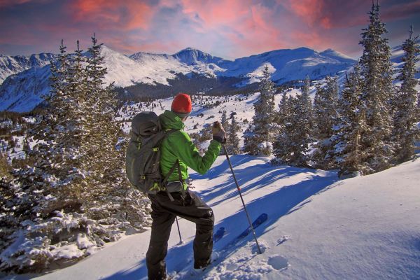
For cross-country skiers and snowshoers looking to try out a backcountry trail, the Sawatch Range offers a variety of choices, from all-day adventures to short, kid-friendly options. The Waterdog Lakes Trail on Monarch Pass is a steep, high-altitude climb of less than two miles to small lakes close to 11,300 feet in elevation. Browns Creek near Nathrop has several trails for cross-country skiers and snowshoers to try.
The Upper Arkansas Valley starts in the north near Leadville, and follows the liquid spine of the Arkansas River south to Salida. Tall angular mountains surround the valley on every side – the Mosquito Range, the Sawatch Range and the Sangre de Cristo peaks. It’s a playground of big peaks and deep snow with nearly unlimited terrain for winter adventures.
With the exception of Leadville, which sits in a snowy crown of mountains, the high peaks shade the valley floor from significant snowfall most years. The dry valley floor starkly contrasts the deep snow in the smaller mountain valleys to the north and west of the Arkansas River. Travel up any of these small mountain valleys to find a wealth of high quality ski and snowshoe routes.
Many of the best routes are accessible by passenger car by a series of paved mountain passes – Poncha, Monarch, Cottonwood and Tennessee. Not all these passes remain open in winter, but they’re plowed far enough to get high in the mountains quickly and easily.
In this guide, we highlight some of the best and most-accessible routes in the region. However, this is just a drop in the bucket, because there are hundreds of other trails waiting to be explored.
Snowshoeing & Nordic Skiing Routes
Silver Creek
Silver Creek is a mellow road that follows picturesque Silver Creek near Marshall Pass. The road winds through pine forests along the small waterway and offers excellent views of Mount Antora (13,269 ft.). This is a good trail for people of all ability levels and a good option…
Monarch Crest Trail to South Fooses Creek
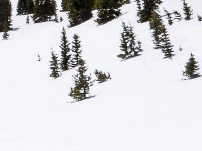
Monarch Crest Trail to South Fooses Creek is one of the best in the west – the Monarch Crest Trail snakes above treeline for many miles along the spine of the Continental Divide. The views are spectacular in all directions and give you a true feel for the backbone of the…
Old Monarch Pass
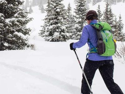
Old Monarch Pass (not Old Old Monarch Pass) was finished in 1922 as part of the “Rainbow Route”, a section of US 50 that stretched from Pueblo to Montrose and marketed as a continuation of the Santa Fe Trail. Due to heavy snow and sharp corners, the highway masters…
Monarch Park to the Top of Monarch Pass
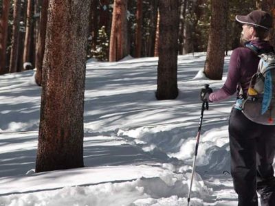
Monarch Park offers mellow terrain on Monarch Pass for skiers and snowshoers. This route follows a road parallel to the South Arkansas River that then curves up to the current Monarch Pass Road. Even in low snow years, you’ll find good snow at Monarch Park.
Waterdog Lakes
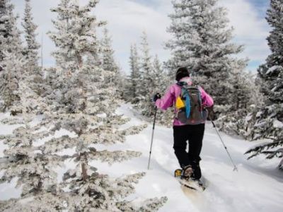
The Waterdog Lakes trail is short and steep, but worth the effort. On a clear day, the views of the Continental Divide and the glacial cirque where the lakes sit, are stunning. The trail winds through dense forest, with occasional views of Bald Mountain (12,858 ft.) and Banana…
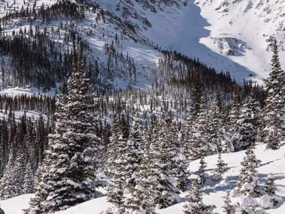
Lost Wonder Hut to Chalk Creek Pass
The Lost Wonder Hut to Chalk Pass route follows Continental Divide Tail (CDT) up the Middle Fork of the South Arkansas River, from the Lost Wonder Hut to the top of Chalk Pass.
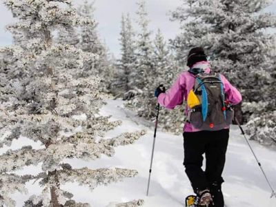
Middle Fork Creek to the Lost Wonder Hut
Middle Fork Creek to the Lost Wonder Hut starts in the small town of Garfield, this route follows a mining road along the path of Middle Fork Creek. The destination is the Lost Wonder Hut, the only mountain hut in the Lower Arkansas River Valley. The road climbs steeply in places…
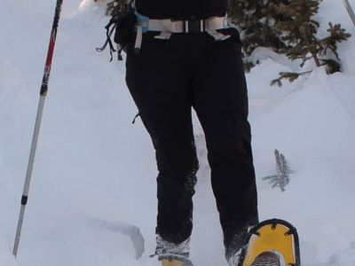
Fooses Creek
Fooses Creek provides the closest good skiing to Salida with easy to access, gentle terrain. The route leads from just below Fooses Lake to the junction of North and South Fooses Creeks. The trail holds good snow for most of the winter and passes through forests of pine and open…
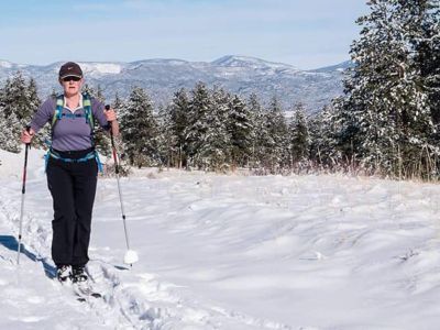
Raspberry Gulch
Raspberry Gulch drops from the heights of Mt. Antero (14,269 ft.) and this tour follows the road up the lower section of the gulch. The route crosses the Colorado Trail and winds through open meadows and huge aspen groves, climbing steadily but very gradually.
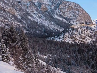
Chalk Cliffs to Cascade Falls
halk Cliffs to Cascade Falls is an old railroad grade hugs the north side of Chalk Creek Canyon, directly across from the imposing bulk of the Chalk Cliffs. It’s a gentle route that climbs slowly through forests, along the base of cliffs with perfect views of the peaks on…
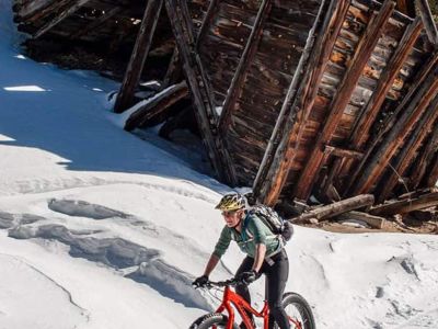
Hancock Pass
Hancock Pass follows the old Denver, South Park and Pacific Railroad grade from the ghost town of Saint Elmo to the turnoff for the Mary Murphy Mine/Pomeroy Gulch. The old railroad grade provides a gradual incline good for all ability levels and will probably be groomed or packed…
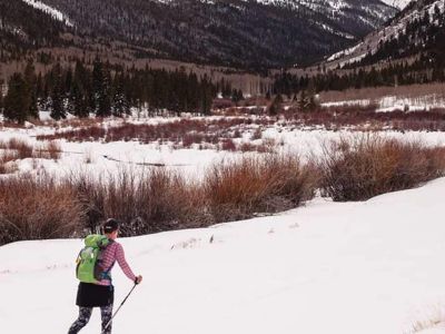
Cottonwood Lake to the Poplar Gulch Trail
Cottonwood Lake to the Poplar Gulch Trail starts from the scenic little log cabins around Cottonwood Lake, this trail follows South Cottonwood Creek up Green Timber Gulch and into the mountains
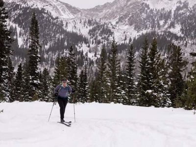
Cottonwood Pass to the Ptarmigan Lake Road
Cottonwood Pass to the Ptarmigan Creek Road is a groomed trail wide as the summer highway and sometimes as smooth. This route offers a surface groomed by snowcat – very unique in the southern end of the valley.
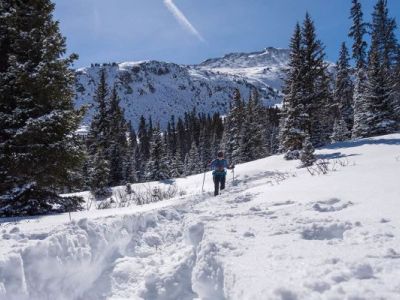
Denny Creek to Hartenstein Lake
Denny Creek to Hartenstein Lake climbs straight from Denny Creek up and up into the Collegiate Peaks Wilderness Area and a beautiful mountain basin. It’s one of the best tours in the valley. Hartenstein Lake sits a tad below treeline just east of the Continental Divide and…
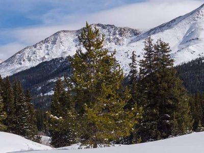
South Fork of Lake Creek
South Fork Of Lake Creek starts at the La Plata Gulch Trailhead and goes up the broad basin of the South Fork of Lake Creek. Get ready for good views of La Plata Peak (14,361 ft.) and the famous jagged La Plata Ridge. The trail winds through the trees before entering an open…
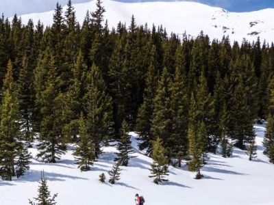
Graham Gulch
The Graham Gulch Trail accesses one of the most scenic alpine basins in the valley with a stunning steep headwall at the top of the route. The top of the headwall is the Continental Divide. The steep trail through the giant pines feels mysterious and the views stun the…
Nordic Skiing Buena Vista & Salida, Colorado
Snow Shoeing Buena Vista & Salida, Colorado
Snowshoeing In Buena Vista & Salida, Colorado
Trail Systems
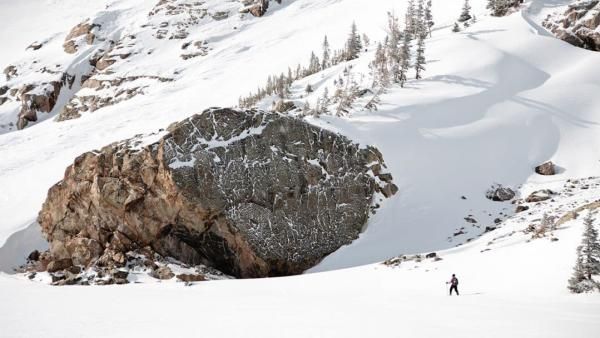
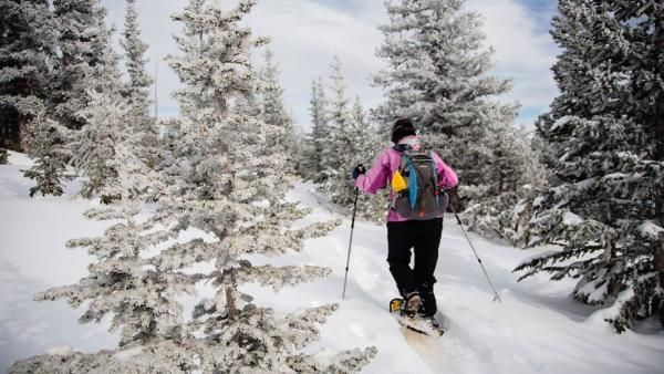
Monarch Pass
Monarch Pass connects the Arkansas River Valley with the Gunnison Valley. Close to Salida, this is where to find good winter trails in the south end of the valley. There are routes for all ability levels on Monarch Pass.
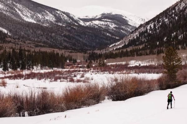
Marshall Pass
Marshall Pass is located just off Poncha Pass, south of Salida on the way to the San Luis Valley. The Silver Creek Road offers excellent terrain near the bottom of Marshall Pass.
Cottonwood Pass
Cottonwood Pass connects the Arkansas River Valley with Taylor Park. Although it sees heavy snowmobile traffic, the pass is bordered to the north by the Collegiate Peaks Wilderness Area. This means you can skate ski the pass on the groomed snowmobile track or escape into the wilderness on one of the valley’s best routes – the wilderness trail to Hartenstein Lake.
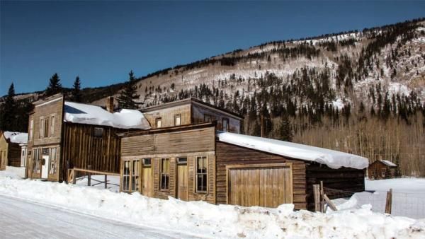
Saint Elmo & Mount Princeton
Saint Elmo & Mount Princeton includes abandoned railroad grades, high mountain passes and the historic ghost town of Saint Elmo. It’s one of the most scenic areas in the valley, but often sees heavy snowmobile use.
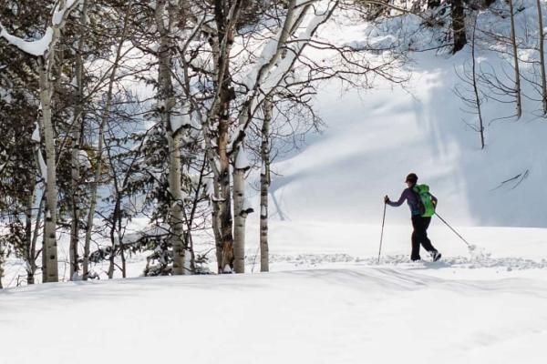
Browns Creek
Midway between Salida and Buena Vista, Browns Creek is a wonderful crosscountry and snowshoeing area. The terrain is flat and easy to navigate. The Evans-Rush trail is a great introductory route for beginners.
BACKCOUNTRY TIPS
Winter weather can be unexpected and change quickly
Avalanches can strike even the most prepared winter recreationist. Check conditions with the Colorado Avalanche Information Center online to determine local mountain weather and safety risks: www.avalanche.state.co.us
THE TEN ESSENTIALS
1. Navigation (map, compass, GPS, extra batteries)
2. Insulation (Weather protection; rain pants/jacket, extra clothes, hat, gloves, large plastic bag, no cotton )
3. Illumination (two) headlamp, flashlight, extra batteries)
4. Personal Protection – sunscreen, first aid, medications, clear/dark glasses, bug repellent
5. Fire (waterproof matches, fire starter, saw, knife,)
6. Signaling Devices – cell phone w backup battery charger, mirror, whistle
7. Repair kit and tools (specific to the adventure and season)
8. Nutrition (extra food for 24 hour, high calorie, won’t freeze or spoil)
9. Hydration (extra water, means to filter or purification tablets)
10. Emergency shelter (reflective waterproof tarp, bivy sack, extra large leaf bag, cord)
Current CAIC Forcast Map


SAFETY FIRST
Bring the proper safety gear for outdoor winter adventures. Make sure your vehicle includes winter emergency gear too, like snow tires or chains, flashlights, blankets, extra food, and water
ADDITIONAL SNOW SAFETY YOU SHOULD TAKE ALONG
An avalanche transceiver, snow shovel and avalanche probe. These items are available to rent at some local outdoor equipment stores. Know how to use the equipment properly before your trip and seek out professional training if you need assistance.
DOWNLOAD THE COTREX APP
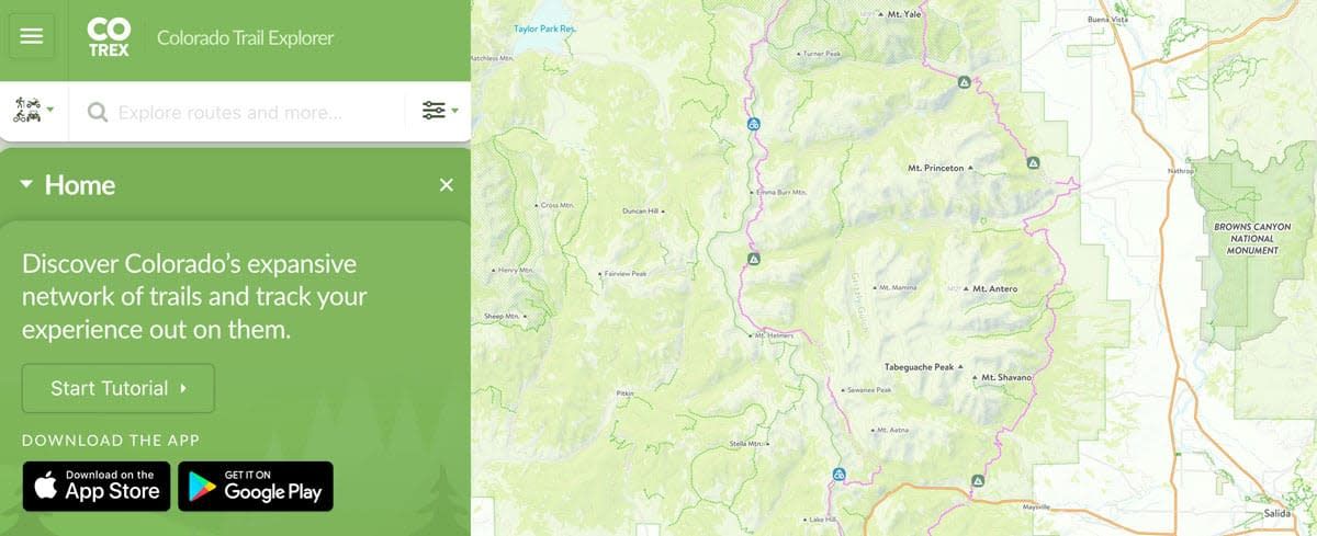
The Colorado Trail Explorer (COTREX) endeavors to map every trail in the state of Colorado in support of the Colorado the Beautiful Initiative. COTREX connects people, trails, and technology by coordinating the efforts of federal, state, county, and local agencies to create a comprehensive and authoritative repository of recreational trails for public use.
This project is led by Colorado Parks and Wildlife (CPW) and Department of Natural Resources, but is only made possible through partnerships with organizations at every level statewide. COTREX represents a seamless network of trails managed by over 225 land managers.
