Ute Trail to the Crater
Published with permission from the guide book: The Local’s Adventure Guide to Singletrack & Tarmac – Mountain Bike Trails and Road Rides in the Upper Arkansas River Valley by Nathan Ward.
- Featuring 36 Mountain Bike Trails and 18 Road Rides in and around Buena Vista & Salida, Colorado – beginner to expert, town to summit, smooth tarmac to extreme singletrack.
- Maps and Elevation Profiles for each ride, including altitude gain and loss.
- Local Advice on riding areas and seasons, where to sleep, where to soak, where to find the best pizza, the best coffee and the best bars in Buena Vista & Salida, Colorado.
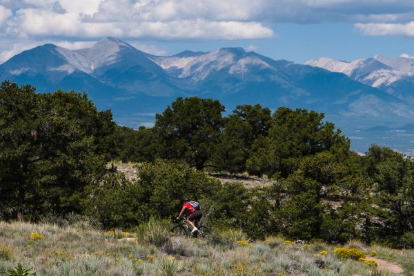
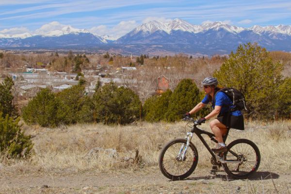
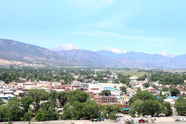
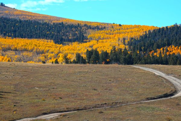
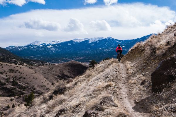
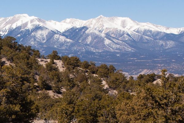
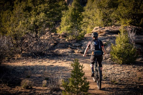
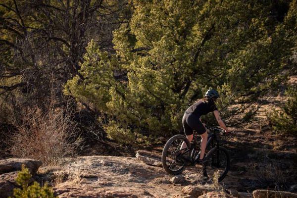
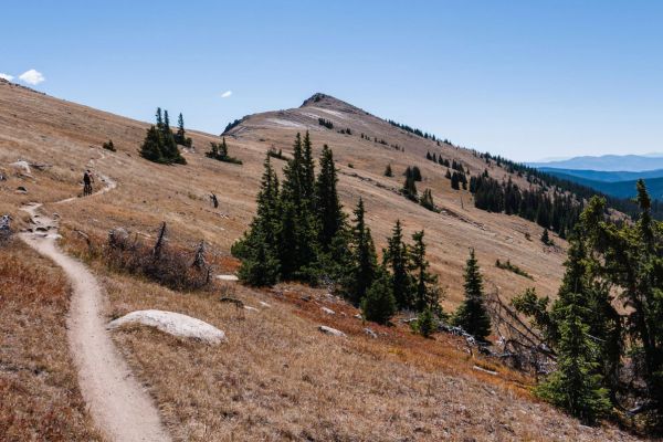
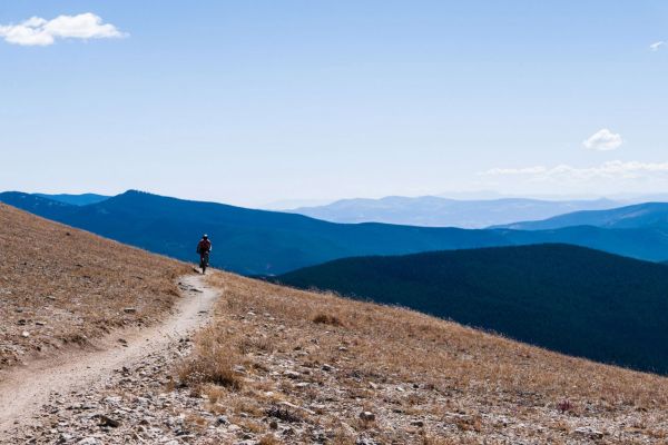
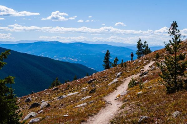
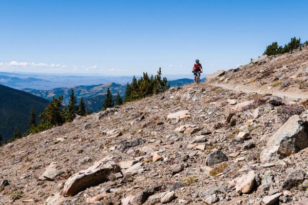
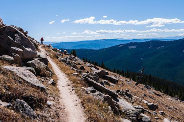
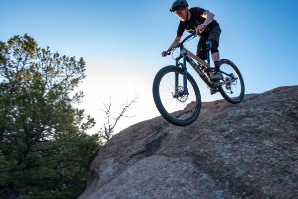
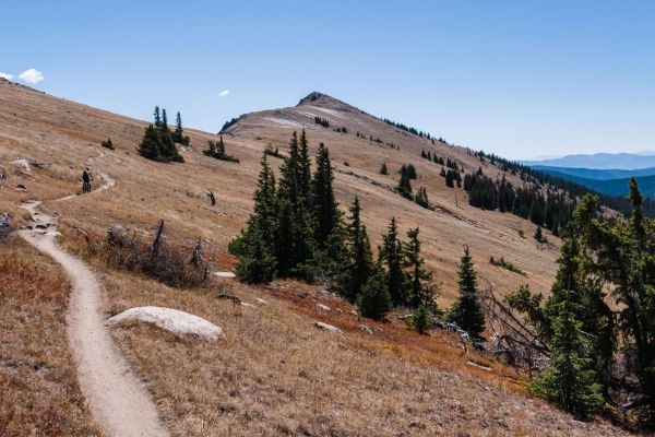
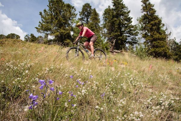
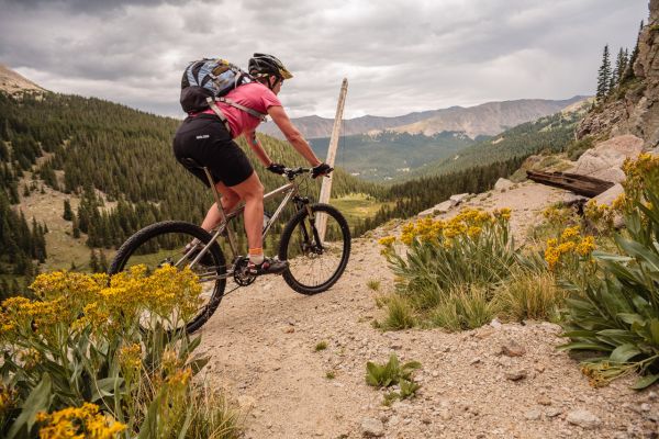
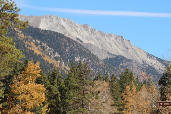
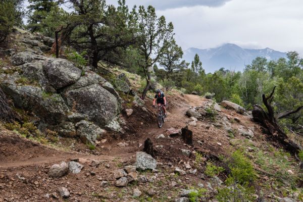
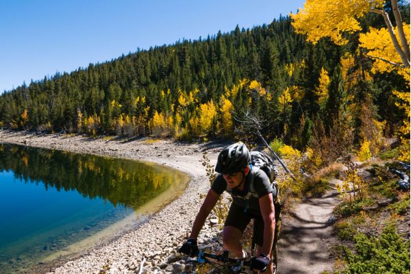
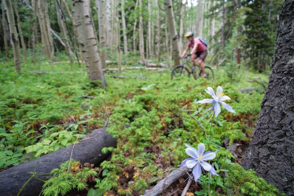
Ute Trail to the Crater: The crater sits high above Salida, a white wall of rock that stands out from the red hills. Locals say it’s a meteor crater, or the remnants of a volcano. Up close it looks like some galactic happening. Is it real or rural legend? The ride passes through meadows and aspen groves before climbing to the crater. The short steep climbs test the legs and lungs.
Trailhead Access: Follow the route guide for the Ute Trail to the Ghost Town of Turret ride and drive 7.6 miles to the junction of CR 181/CR 175. Park on the right in the parking area.
Location: Ute Trail, north of Salida
Distance: 8.8 miles – out and back
Riding Time: 2 hours
Riding Surface in Miles: Doubletrack 8.8
Aerobic Level: Strenuous – climbing
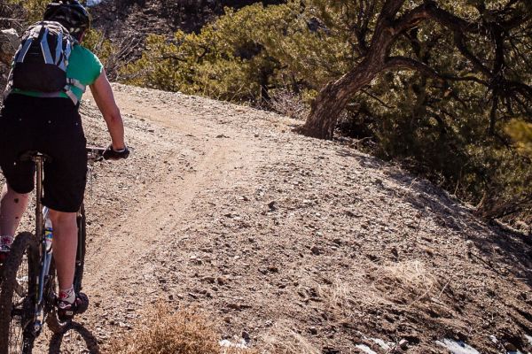
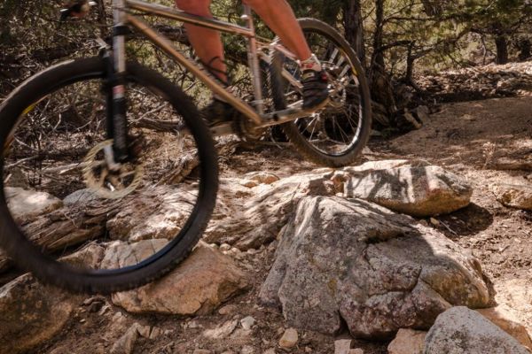
Technical Difficulty: Intermediate – uneven road surface, steep sections, loose rocks
Elevation in Feet: Low Point 8,811; High Point 9,192; Climbs/Descends 1,345
Land Status: USFS, BLM, Private Land
Maps: Salida East, Salida West
Options: Ride from town. Follow the route guide for the Ute Trail to the Ghost Town of Turret ride to mile 7.6 and start this ride.
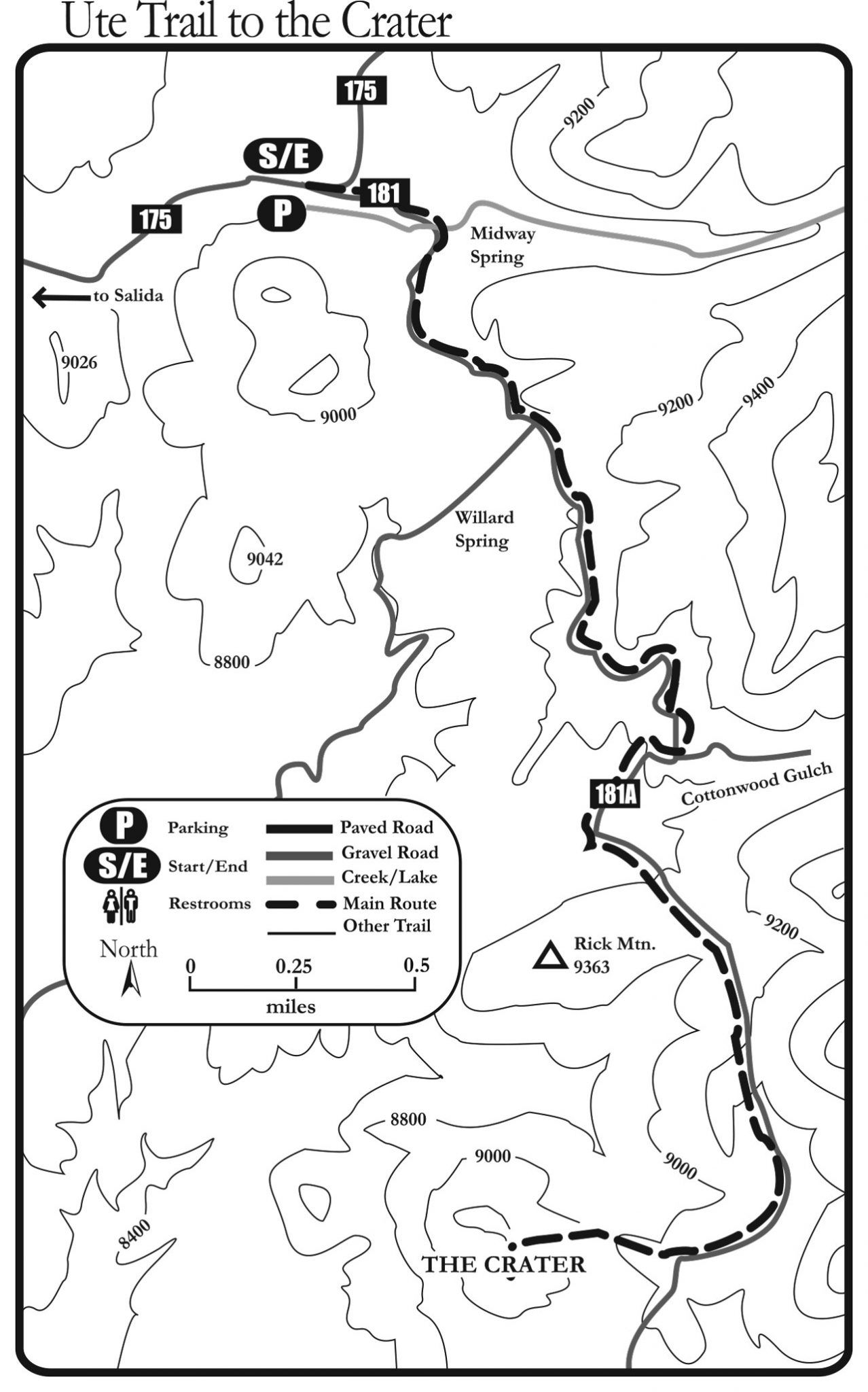
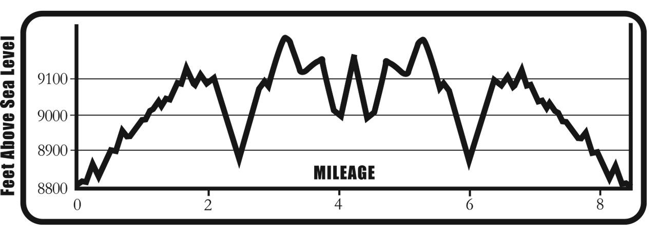
Ute Trail to the Crater Mileage Log
0.0 Start riding southeast on CR/FSR 181, cross a meadow and a creek.
1.0 The road splits. Stay on CR/FSR 181 to the left. The other road, CR 173, heads downhill to Salida.
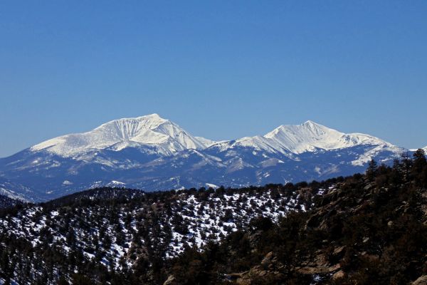
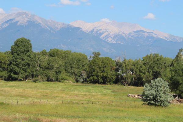
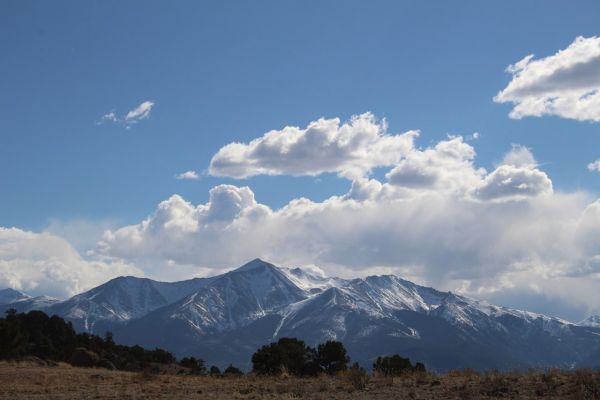
1.2 Nice view of Mt. Ouray (13,971 ft.) to the southwest.
1.7 Cross a cattle guard and stay straight on the road through private land.
2.2 The road splits. Turn sharply right downhill on CR 181A. A small sign is hidden in the tree.
2.3 Stay to the right past both turnoffs. They go the same place, but the right road prevents erosion.
2.5 The road splits again. Take the left road at this unmarked junction.
3.6 Another unmarked split in the road, take the right hand road.
4.0 The road splits. Turn sharp right on the unmarked rough road heading directly downhill. Look ahead for the hill with a steep track heading straight up. This is the back side of the crater.
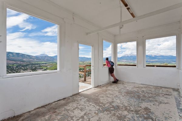
4.4 The summit of the crater! The last 0.2 mile is a tough climb. Enjoy the view of the crater and the valley below – it’s awesome. Follow the same route back to the car.
BE PREPARED
We want you to have a safe and enjoyable trip into Colorado’s backcountry. Be prepared it could be a long walk out. Be sure to read this list of equipment you should bring on your ride along with tips to make your biking trip more enjoyable.
TRAIL ETIQUETTE
The Colorado backcountry is popular – bikers, hikers, motorcycle riders, hunters and equestrians use the trail system in the Arkansas Valley, and everyone wants a private piece of heaven. Even if you don’t agree with everyone’s motives or methods of travel, please treat them in a courteous manner.
CORSAR CARD
If you require search and rescue services, it can be costly. Buy a Colorado Outdoor Recreation Search and Rescue (CORSAR) card to protect yourself. Funds from the CORSAR program go into the Colorado Search and Rescue (SAR) Fund. If a CORSAR card holder becomes lost or injured in the backcountry, the Colorado SAR Fund pays eligible search and rescue expenses.
MOUNTAIN BIKE TRAIL GUIDE
RIDE WITH CARE
Bicycle riding is a physically strenuous activity with many risks and dangers. Hazards, natural or man made, whether noted in this book or not, can be encountered at any time under any situation. As a cyclist, we assume you know your personal abilities and limitations. This book represents nothing more than a guide to the trails and roads and is not meant to replace your common sense, your ability to navigate in the wilderness or in traffic, or your ability to ride a bicycle safely.
In addition, the mileages and routes listed in this text are only suggestions. There may be variances and you may get lost. We recommend everyone uses a GPS and topographical map to navigate. Most routes in this text are located on public land, but some trails pass through or adjacent to private land. Respect the land owner’s rights and obey all signs regarding trail use. The same goes for wilderness areas which prohibit mountain bike riding. Neither the author, nor the publisher, nor anyone else mentioned in this book are responsible or liable in any way for any accident, injury or any action brought against anyone traveling any route listed in this book. All cyclists and their companions assume responsibility for themselves. Ride at your own risk.
