- Outdoors
- Things To Do
- Events
- Restaurants
- Lodging
- FREE VISITOR GUIDE
- Home
- Outdoors
- Hiking and Backpacking
- Starvation Creek

STARVATION CREEK
Published with permission from the guide book: Mellow Mountain Trails Hiking Guide to Colorado’s Upper Arkansas River Valley
by Nathan Ward.
- Featuring 27 Fun Day Hikes in Buena Vista & Salida – beginner to expert..
- Maps and Elevation Profiles for each ride, including altitude gain and loss.
- Local Advice on riding areas and seasons, where to sleep, where to soak, where to find the best pizza, the best coffee and the best bars in Buena Vista & Salida, Colorado.
Starvation Creek
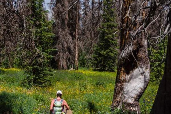
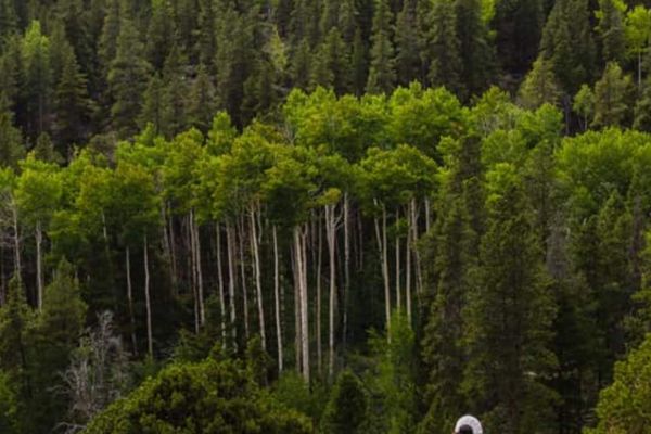
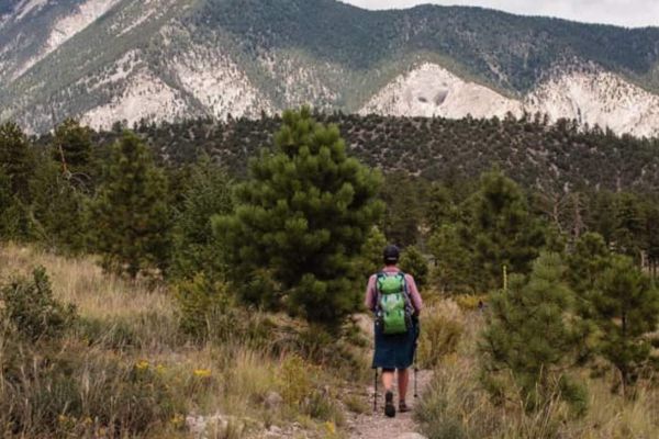
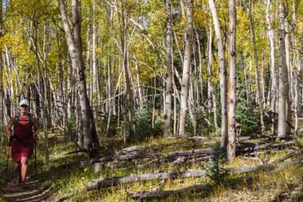
The hike along Starvation Creek follows a winding mountain stream on singletrack through pine, fir and aspen forests, as well as a few grassy meadows. Local legend has it that Starvation Creek got its name when an early fall blizzard trapped a rancher’s cattle in this area. When the cowboys found the cattle, they were starved to death and frozen. Starting at the point where Starvation Creek runs into Poncha Creek, it’s a beautiful hike along a trail that is rarely steep and always easy to follow.
Options
For a longer hike, simply continue farther up the Starvation Creek Trail. It’s easy to follow and you could climb several more miles to the Continental Divide.
Trailhead Access & Facilities
You need a high clearance vehicle to reach this trailhead.
From the junction of US 50 and US 285 in Poncha Springs, turn south toward Poncha Pass. Follow US 285 up Poncha Pass, for 5.1 miles and turn right (west) on CR 200. Follow CR 200 for 2.4 miles to a junction at the Shirley Site trailhead. Turn right at the Shirley Site – the signage is confusing here and the road marked different things on different maps – as CR 200 or 200.2. Regardless, turn right toward Marshall Pass and cross a bridge over Poncha Creek after 0.8 miles. Directly after the bridge, turn left on CR 203. Follow CR 203 for 3.3 rough miles to the signed Starvation Creek Trailhead. Park here.
There are no facilities at the trailhead or along the trail.
Location: A Few Miles West of Poncha Pass
Distance: 4 Miles – Out & Back
Hiking Time: 2 Hours or More
Best Months: June through October
Trail Type: Singletrack
Difficulty: Easy
Dog Friendly: Yes
Elevation in Feet: Low Point 9,066; High Point 9,588; Climbs/Descends 522
Land Status: San Isabel National Forest
Maps: Trails Illustrated #139
Note: This trail is also used by mountain bikers, so keep your eyes and ears open. They will always be riding down the trail and never up it. Love your neighbor.
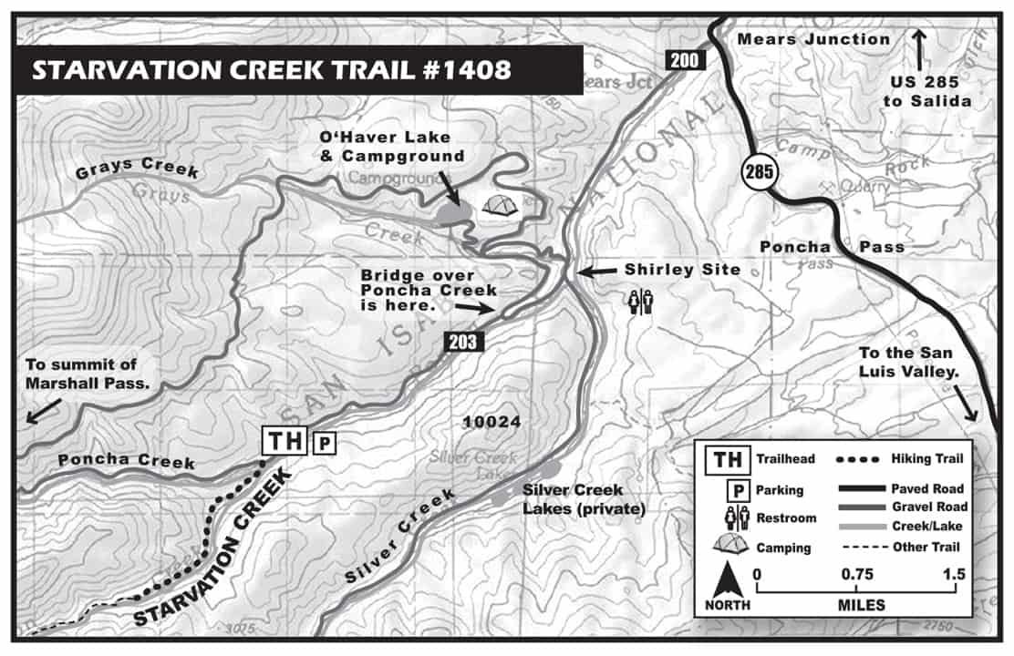

Starvation Creek Mileage Log
0.0 Trailhead – Starvation Creek Trailhead. Cross the bridge over Poncha Creek. Elevation 9,066 ft. (N38 23.90, W106 10.41)
Note – the start of this trail is being reconfigured, so follow the obviously route which heads west up the valley along Starvation Creek.
1.0 There is a trail to the right, don’t take it. Our trail gradually climbs up along Starvation Creek to the left. Hike through open grassy meadows and calm forests. There are many great places for picnics.
2.0 Turn around here for a 4 mile hike, or continue on for a more challenging day. Elevation 9,588 ft. (N 38 22.94, W106 11.50) There is nothing significant to make this turnaround spot so if you aren’t using a GPS, use your watch and turn around after hiking for an hour or so.
Retrace your steps to the truck.
4.0 Back at the trailhead.
BE PREPARED
We want you to have a safe and enjoyable trip into Colorado’s backcountry. Be prepared it could be a long walk out. Be sure to read this list of equipment you should bring on your ride along with tips to make your biking trip more enjoyable.
TRAIL ETIQUETTE
The Colorado backcountry is popular – bikers, hikers, motorcycle riders, hunters and equestrians use the trail system in the Arkansas Valley, and everyone wants a private piece of heaven. Even if you don’t agree with everyone’s motives or methods of travel, please treat them in a courteous manner.
CORSAR CARD
If you require search and rescue services, it can be costly. Buy a Colorado Outdoor Recreation Search and Rescue (CORSAR) card to protect yourself. Funds from the CORSAR program go into the Colorado Search and Rescue (SAR) Fund. If a CORSAR card holder becomes lost or injured in the backcountry, the Colorado SAR Fund pays eligible search and rescue expenses.
CARE FOR COLORADO – ARE YOU COLO-READY?
Visitor Photos
Buena Vista Chamber of Commerce
111 E Main St
Buena Vista, CO 81211
Salida Chamber of Commerce
406 W Rainbow Blvd.
Salida, CO 81201
© Chaffee County Visitors Bureau | All Rights Reserved
Site developed by ![]() Agency Tourism Marketing
Agency Tourism Marketing


